
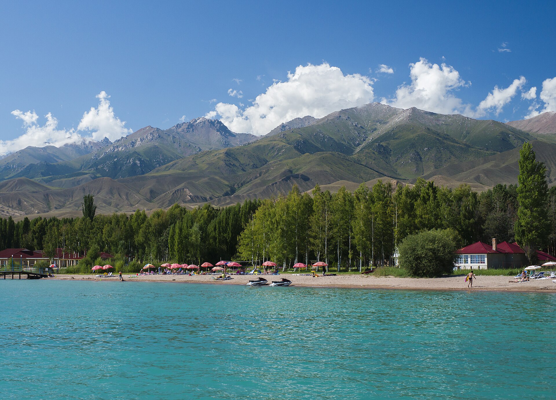
Photo: Vilya Shoni · CC BY-SA 4.0 · license
History and culture
Issyk-Kul's shores have linked Central Asian settlements and routes for centuries. Archaeological sites now sit beside twentieth-century resorts.
Explore the lake by area: the north shore suits resorts, while the south shore is stronger for canyons and craft villages.
Respect religious and memorial spaces, ask before photographing people, and follow local access rules.
Places
Rukh Ordo
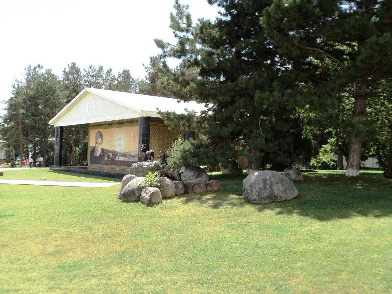
Photo: Sergey Sukhinin · CC BY-SA 3.0 · license
An open-air cultural complex on the shore at Cholpon-Ata, with pavilions, sculptures and lake views.
The complex presents several religious and cultural traditions side by side; it is a modern interpretive site, not an ancient settlement.
Allow time to walk the grounds and look back across the lake; the setting is part of the visit.
Check seasonal opening, ticket and event information before travelling, especially outside the summer period.
Cholpon-Ata Petroglyphs
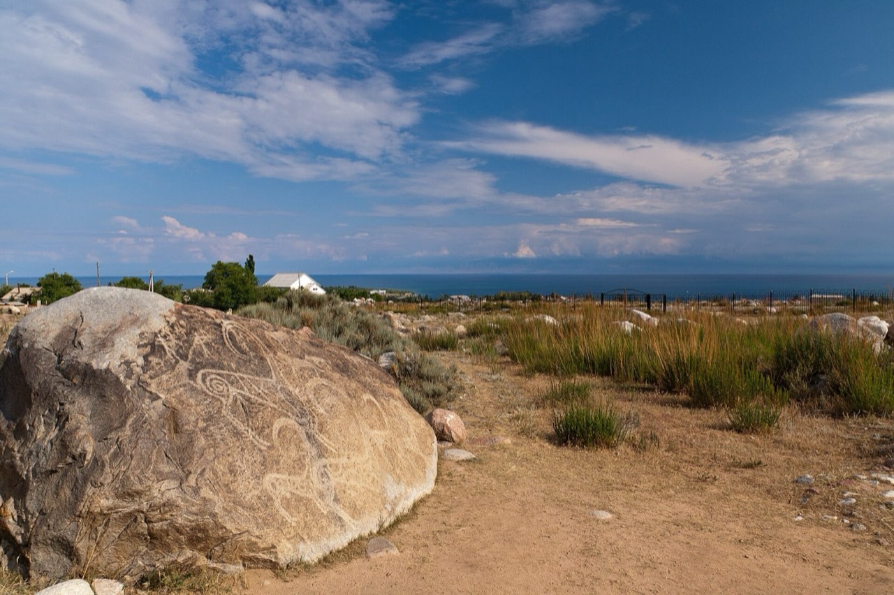
Photo: HylgeriaK · CC BY-SA 3.0 · license
An open-air field of prehistoric and early historic rock carvings near Cholpon-Ata.
The stones depict animals, people and geometric forms from different periods; the site is fragile and has little shade.
The carvings are easiest to appreciate slowly, comparing shapes across the landscape rather than looking for one single “main” stone.
Stay on established paths, never chalk or touch the carvings, and bring sun protection and water.
Juuku Gorge
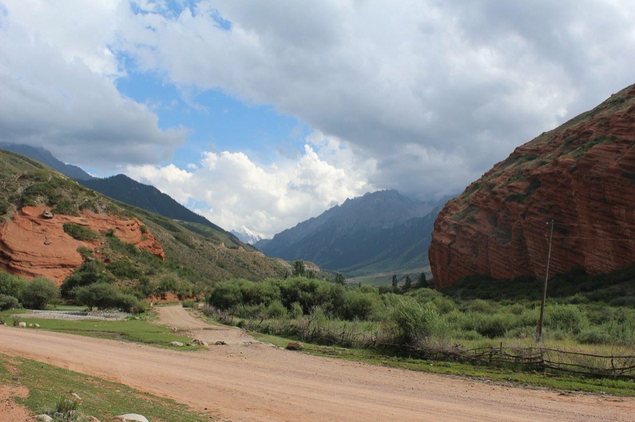
Photo: Firespeaker · CC BY-SA 4.0 · license
A remote south-shore mountain valley reached by road from the lake corridor.
Juuku is a high mountain landscape of river, pasture and steep-sided valley; it is a regional outing, not a town-centre walk.
Choose it for a quieter mountain drive and short walk when access and weather allow.
Road, river crossings and trail conditions vary by season. Check locally, do not rely on the pin as a complete route, and turn back if conditions worsen.
Skazka Canyon
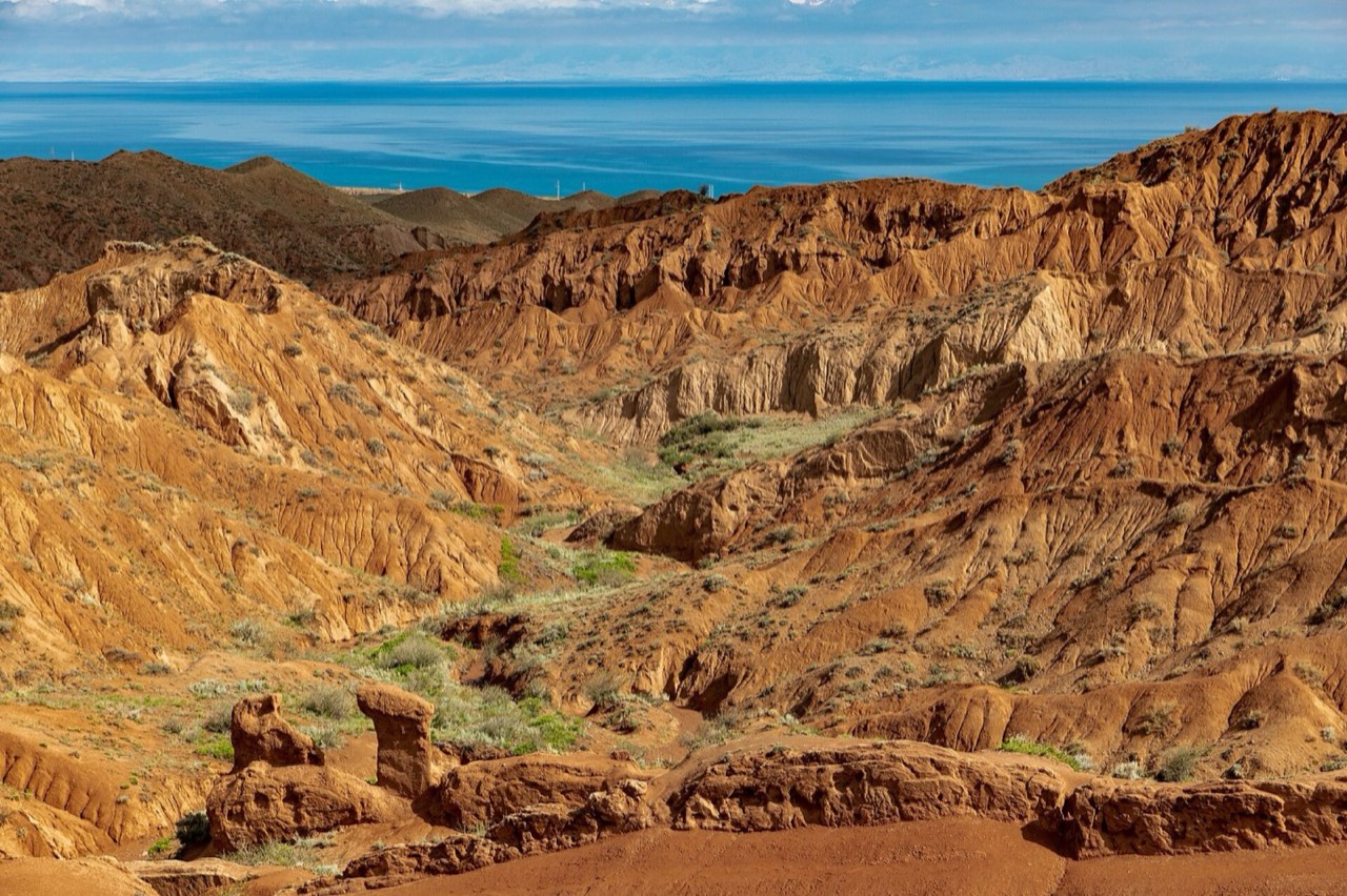
Photo: Ninara from Helsinki, Finland · CC BY 2.0 · license
A south-shore badlands landscape of red and ochre sandstone ridges above Issyk-Kul.
Wind and water have carved the soft rock into narrow gullies and fantastical forms; the surfaces are fragile.
Walk to the ridgelines for changing views of the canyon and lake, without needing to climb the steepest formations.
Use sturdy shoes, avoid loose edges and do not climb or scratch the sandstone. Heat and wind can rise quickly.
Barskoon Gorge
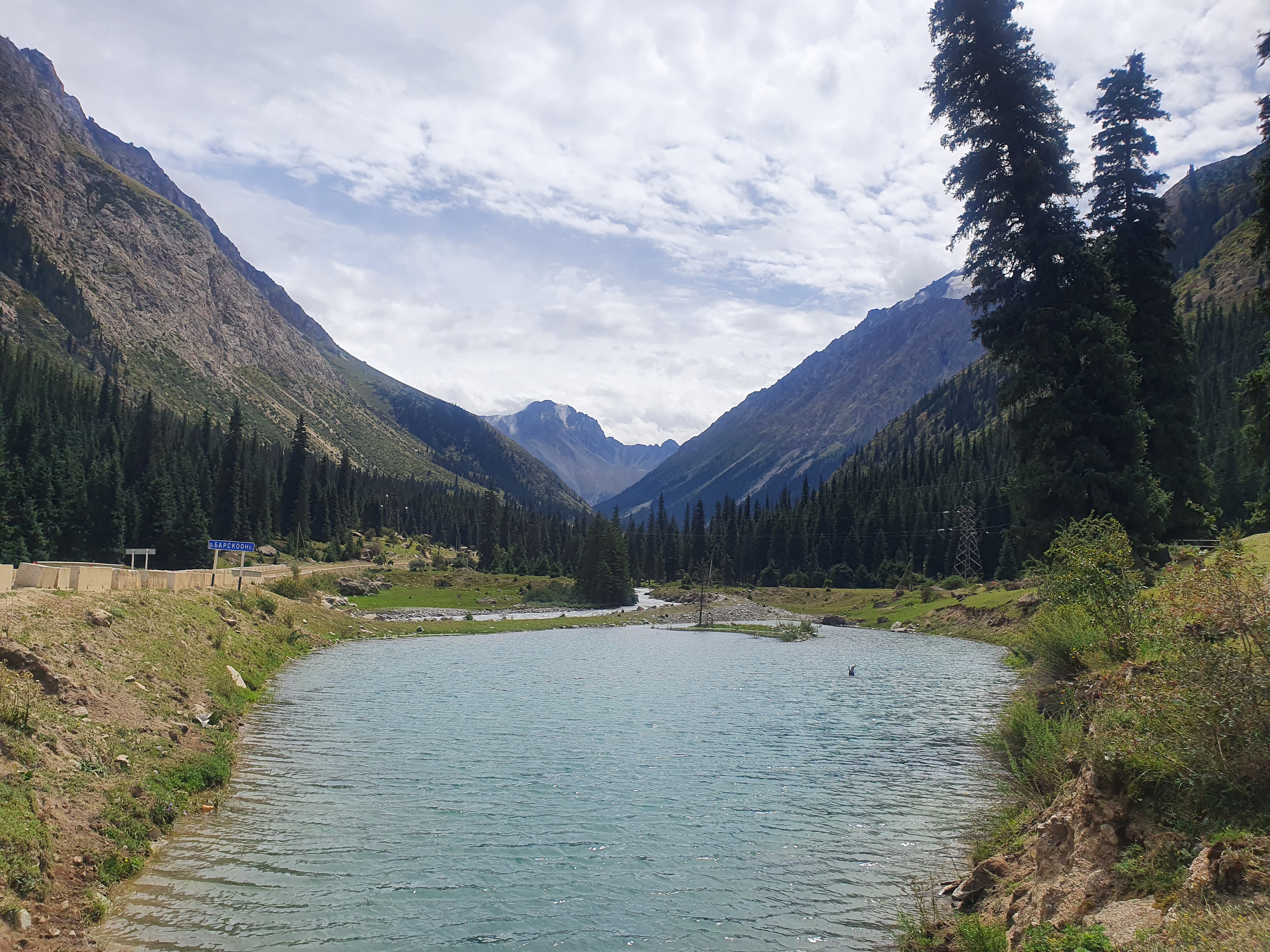
Photo: Nastasya Liliya · CC BY-SA 4.0 · license
A forested south-shore gorge known for waterfalls, a river and a road climbing toward high mountain country.
The gorge is a real mountain environment rather than a landscaped attraction; access and waterfall volume depend on season and weather.
Combine the lower gorge and waterfall approach only when the trail is open and conditions are safe.
Stay on established paths, keep away from wet cliff edges and check road and weather conditions before leaving the lake shore.
Bokonbaevo & Salbuurun-Ordo
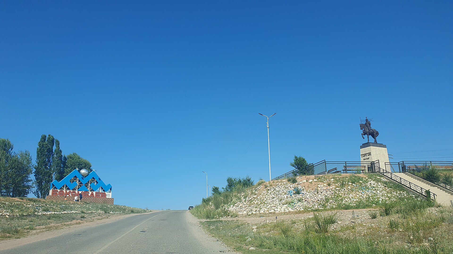
Photo: Kmaksat · CC BY-SA 4.0 · license
Bokonbaevo village entrance, photographed in 2023.
A south-shore village and local base for felt crafts, eagle-hunting culture and the annual Salbuurun festival.
Bokonbaevo is a village on the south shore. The Salbuurun-Ordo ethno-centre hosts the annual festival of hunting birds and traditional sports; the event is scheduled, not a daily attraction.
Use this as a base for a locally arranged cultural visit and south-shore trips; check the annual Salbuurun programme separately.
Arrange demonstrations or crafts with a local host or CBT Bokonbaevo. Festival dates, venue access and fees change each year; confirm before travelling. Ask before photographing residents, birds or private workshops.
Walking routes
Rukh Ordo to Cholpon-Ata Petroglyphs
A route between nearby essential stops with time allowed for visits.
4.138 km · 185 min
- Rukh Ordo · 45 min at stop
- Cholpon-Ata Petroglyphs · 45 min at stop
A short walk inside Skazka Canyon
Start and finish at the permitted canyon entrance. The catalogue stop represents the natural site, not the only point along the walk. Follow accessible lower paths between red formations and return the same way. Allow roughly 1.5 km and at least 90 minutes including exploration: this is an estimate, not a marked circular GPS route. Avoid crumbling ridges and visits after heavy rain. Travel from your accommodation and transfers to Juuku are not included; arrange transport separately.
1.5 km · 90 min
- Skazka Canyon · 40 min at stop
Lower trails in Barskoon Gorge
This gorge walk starts after the road transfer, near an accessible lower waterfall trail. The catalogue stop represents the wider gorge. Use only an open path and return to your drop-off point. Roughly 2.5 km and two hours including stops are planning estimates, not a guarantee of access to every waterfall. Turn back early on slippery ground, snow or closures; higher trails need a separate mountain plan. Bokonbayevo is tens of kilometres away and is not a second walking stop.
2.5 km · 120 min
- Barskoon Gorge · 40 min at stop
Food
Issyk-Kul trout
Lake fish, usually baked or fried.
Ask about ingredients if you have allergies and choose venues with recent reviews.
Kattama
Layered flatbread with onion.
Ask about ingredients if you have allergies and choose venues with recent reviews.
Kuurdak
A fry-up of meat, potatoes and onions.
Ask about ingredients if you have allergies and choose venues with recent reviews.
Kymyz
A traditional fermented mare's-milk drink.
Ask about ingredients if you have allergies and choose venues with recent reviews.
Boorsok
Small fried dough pieces accompany tea and shared meals. They are a wider Kyrgyz tradition, not a recipe exclusive to Issyk-Kul.
Try them warm with tea. Ask whether the dough contains milk or eggs; they are not a full meal before a long walk.
Practical information
Use public transport in cities and verified operators for regional journeys. Keep route details offline.
Call 112 in an emergency. For mountain trips, share your route and check the weather. Weather: Check the local forecast and route conditions before setting out.
Money
The local currency is KGS. Check whether your card works and keep a backup payment method.
Tipping
You may leave a voluntary tip. Since 1 January 2026, restaurants cannot charge a separate compulsory service or table-setting fee; compare the total with the published menu. A tip does not replace payment for your order.
Transport
Check schedules on the day of travel and use official operators.
Emergency help
Call 112 in an emergency. For mountain trips, share your route and check the weather.
Electricity
C/F outlets with round contacts are common, with 50 Hz mains. Check your device’s input rating against the local supply before connecting; universal chargers are labelled 100–240 V, 50/60 Hz. A plug adapter does not change voltage, and protective earth must be maintained.
Connectivity
Keep maps, your accommodation address and essential contacts offline.
Verified sources and photo licences
- Боорсоки / Boorsok · Кыргыз маданият борбору — «Эл таануу», рецепты Дамиры Арстановой
- Экстренная служба 112 · МЧС Кыргызской Республики
- Правила общепита с 1 января 2026 · Министерство экономики и коммерции КР
- Розетки и безопасное подключение / Plugs and electrical safety · Electrical Safety First / Electrical Safety Council
- Skazka Canyon: separate road trip and local visit · Destination Karakol
- Skazka and Barskoon: road transfer followed by waterfall walk · Karakol Ski — собственная программа гида
- Salbuurun Ethno-Festival · Ticket.kg